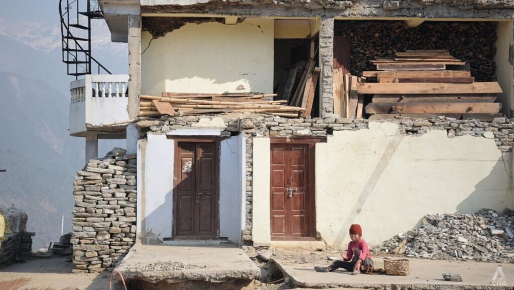
From a research perspective, the reality for scientists – locally and from overseas – is that funding seldom comes unless a major earthquake occurs to trigger it. The Gorkha quake in 2015 was a clear example of this, according to Hetényi.
“You remember how concerned the population was for a certain time, and then in the first three years it was easy to get funding to study in Nepal. And then suddenly attention turned elsewhere and people were not remembering so much anymore, especially abroad. So that’s a problem,” he said.
The recent Myanmar earthquake, which occurred on the Sagaing fault and links seismically to the Himalayan region, could present more research opportunities in the near future, Karplus said. At the very least, it could spark some attention from citizens living in risky areas.
“Having regional earthquakes is a bit of a reminder and maybe a wake-up call or a warning to communities. Because it prompts people and especially politicians who are making decisions,” Karplus said.
In a country with a GDP less than 10 per cent of Singapore’s – and such major seismic hazards – increasing knowledge and research capacity is not an easy proposition in Nepal.
“Scientific development is very close to the political structure and economy of the country. You cannot have an MIT, for example, in India and Nepal,” said Banerjee, referring to the well-known Massachusetts Institute of Technology in the United States.
“These are the practical challenges. We know there is a solution, but to implement it on ground is the real challenge.”
Experts agreed that collecting data should be a priority for countries in the region. From there it could be disseminated overseas to experts who can help better decipher some of the mysteries of tectonic activity, of which there remain many.
“Understanding the geometry of those faults is really critical. The more data we have, the better we can understand the structures that are impacting how big the ruptures are, and that can help with understanding and preparedness,” Karplus said.
A new online tool developed by Aberystwyth University in Wales could assist in increasing knowledge and awareness about how multiple hazards, including earthquakes, could impact Nepal.
Called MiMapper, the multi-hazard mapping tool uses geospatial data to visualise natural hazard risk across the country and is freely accessible by anyone.
The earthquake visualisation builds in vulnerability and social dimensions, like the types of housing and density of populations, said Neil Glasser, the pro vice-chancellor of the university’s Faculty of Earth and Life Sciences.
“It’s important to say it doesn’t predict when these events will take place. Because if we could, that’s the Holy Grail, isn’t it?” he added.
“It’s a tool for people thinking about development and planning. And in countries like Nepal, they’re just constantly trying to work out ways to develop the country in the face of natural disasters.”
Read the full article here
