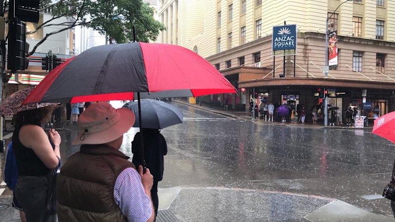
Flash flooding and swollen rivers could be in store for south-east Queensland, as the Bureau of Meteorology warns of more rain.
After a steamy week with maximum temperatures in the mid-30s, storms brought a cool change overnight, dumping up to 76 millimetres of rain in parts of the Scenic Rim and dropping Friday’s forecast high to just 25 degrees in Brisbane.
Widespread falls across the south-east ranged between 20 millimetres and 60 millimetres from Thursday afternoon to Friday, with storms from central parts of Queensland moving to the coast.
Even more rain was recorded on either side of south-east Queensland, with parts of northern NSW receiving nearly 180 millimetres from 9am on Thursday to 5am on Friday, and Mount Playfair in central Queensland copping 100 millimetres.
That wet weather was expected to continue as the trough moved north from NSW, with the bureau predicting six-hour totals between 50-90 millimetres, and isolated totals as high as 150 millimetres throughout southern Queensland.
A heavy rain warning was active as of 7.45am on Friday, and a severe thunderstorm warning could be issued later in the day.
Senior meteorologist Miriam Bradbury said these falls could lead to flash flooding and cause rivers across the region to swell.
“Roads, walkways and properties may see localised inundation, and we could see very dangerous conditions out on the roads as well as possible power outages and traffic and transport delays,” she said.
Flood watches were active from Bundaberg to as far south as Ballina in NSW, stretching inland to Charleville.
Start the day with a summary of the day’s most important and interesting stories, analysis and insights. Sign up for our Morning Edition newsletter.
From our partners
Read the full article here
