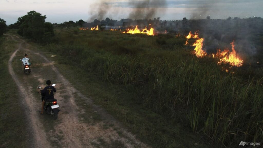
JAKARTA: Indonesia’s Sumatra island has seen a sharp spike in forest and land fires, with the number of hotspots jumping from 94 to more than 1,000 within 10 days.
A total of 1,292 hotspots were detected in the region, according to a report by Indonesia’s Meteorology, Climatology and Geophysics Agency BMKG on Monday (Jul 21).
Hotspots are satellite images with high infrared intensity, indicating sources of high heat, such as forest and land fires.
Within the region, Riau province has been the worst hit by fires in forests and peatlands, with a total of 582 hotspot detections. This is up from 38 hotspots reported on Jul 12.
“The trend (of number of hotspots) is increasing because Riau is entering the peak of the dry season and the intensity of rain and cloud growth is decreasing,” Irwan Nasution, coordinator of BMKG Riau province, told CNA.
The Rokan Hilir regency and North Sumatra province were also badly hit by blazes, with 244 and 236 blazes detected in the areas respectively, according to the Jul 21 report by BMKG.
Indonesia’s National Disaster Management Agency (BNPB) said it will also be carrying out cloud-seeding to fight the forest fires in Riau from Jul 21 to Jul 27.
Abdul Muhari, the head of the BNPB’s Disaster Data, Information and Communication Center said that additional measures, such as a water-bombing helicopter and an air patrol to monitor the fires will also be deployed to Riau as part of the cloud-seeding and fire mitigation efforts, according to a report on the agency’s website.
Indonesia’s fires are usually a result of slash-and-burn techniques being deployed to clear land for subsequent crops, as well as the dry season exacerbating the situation.
The forest and peatland fires are a primary cause for the recurring issue of transboundary haze, which is an annual problem for Indonesia and its neighbours, including Singapore, Malaysia and southern Thailand.
According to the ASEAN Specialised Monitoring Centre, dry conditions were observed over most parts of the southern ASEAN region from Jul 20. Aside from parts of northern Sumatra, hotspots were also detected in parts of Peninsular Malaysia and Borneo.
The Malaysian Meteorological Department, MetMalaysia, released an advisory on Jul 19 regarding the transboundary haze.
It said that hotspots in Sumatra captured by satellite imagery last Friday and reported by the ASEAN Specialised Meteorological Centre could have contributed to the haze carried by south-westerly winds.
It stated that the haze was affecting several states on the west coast of Peninsular Malaysia, with the agency not expecting any changes in weather or wind direction that could reduce its impact over the coming days.
On Monday morning, eight locations in Malaysia recorded air pollutant index readings above the unhealthy range of 100. The worst hit was Alor Gajah in Melaka, with a reading of 160.
CNA has reached out to Singapore’s National Environment Agency (NEA) for comment.
Additional reporting by Kiki Siregar.
Read the full article here
