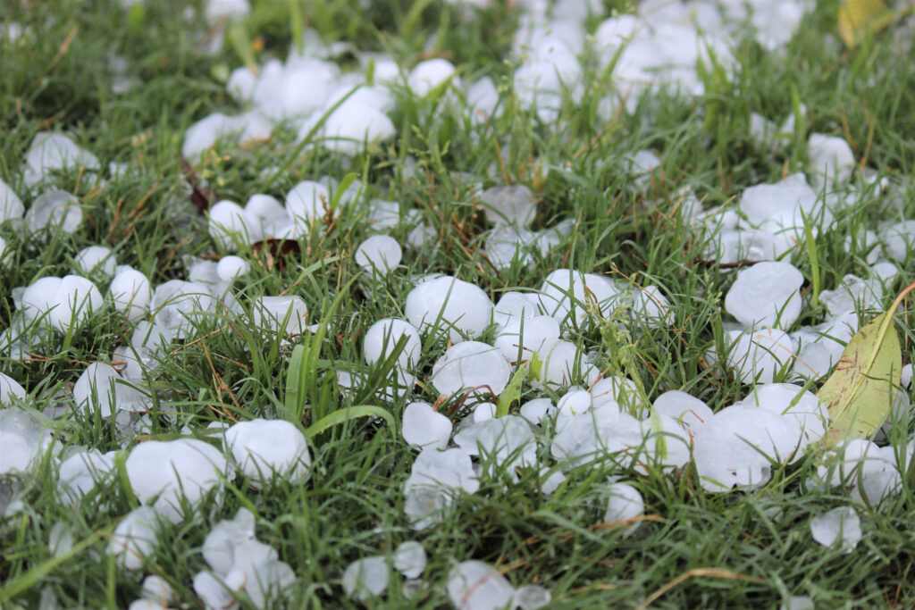
Massive hailstones, described as “DVD-sized” and edging close to “gargantuan” in magnitude, battered parts of Texas as severe thunderstorms ripped through the region over Memorial Day weekend.
Reports confirmed hail reaching nearly 6 inches in diameter in locations including Afton and Menard, Texas, putting the area at the center of a rare and dangerous weather event.
Why It Matters
This outbreak of exceptionally large hail posed significant risks to residents, property, and infrastructure across Texas, a state already accustomed to severe weather.
The event coincided with the busy Memorial Day weekend, disrupting holiday plans and triggering warnings across the Plains and South.
What To Know
On Monday, MyRadarWX senior meteorologist Matthew Cappucci posted some of the hailstone measurements on X, formerly Twitter.
“When it comes to GIANT hail, there’s no place like Texas! Texas got MELON-SIZED hail both yesterday AND today!” Cappucci posted. “Anything over 4.72 inches is considered ‘DVD-sized.’ Anything over 6 inches is a rare category called ‘gargantuan.’ Yes, that’s the real term!”
Researchers with the In-situ Collaborative Experiment for the Collection of Hail In the Plains (ICECHIP) project, funded by the National Science Foundation and led by Northern Illinois University, traveled alongside storm chasers to document and measure hail.
In Afton, Texas, on May 25, 2025, a hailstone measured 5.47 inches in diameter, ICECHIP said on X.
These events came close but did not surpass the Texas record of 6.42 inches set in Hondo on April 28, 2021, or the U.S. record of 8 inches, set in Vivian, South Dakota, on July 23, 2010.
The storms that produced the massive hail also delivered damaging wind gusts of up to 81 mph in Amherst, Texas, as strong as those of a Category 1 hurricane, along with tornado sightings in multiple towns. Flooding also compounded hazards across the region.
The National Weather Service (NWS) classifies hail that is one inch or larger as severe; hailstones of 4 inches or larger are often described as “softball-sized.” Designations such as “grapefruit,” “DVD,” and “gargantuan” are used for even larger stones.
Large hail forms when strong updrafts in thunderstorms lift water droplets high into freezing layers of the atmosphere, allowing ice to accumulate in concentric layers before falling to the ground, according to AccuWeather.
What People Are Saying
NWS meteorologist Matt Bishop, who works at the Fort Worth office, told Newsweek: “We just had a severe thunderstorm watch recently issued, and some of the hail could get as large as tennis ball size in some of these storms. That type of a hailstone if it hits a city can cause millions to even billions of dollars in damage, especially if it encounters a car sales lot with lots of new cars.”
AccuWeather said in a report: “Thunderstorms that fire up through Wednesday afternoon and evening, combined with the rounds of thunderstorms in previous days, will continue to raise the risk for flash flooding across the region. Other hazards, including hail, damaging wind gusts and isolated tornadoes, will also accompany the flash flooding risk.”
A forecast from the NWS office in Fort Worth/Dallas: “Scattered strong to severe storms will develop this afternoon and evening, with the greatest chances west of I-35 and south of I-20. Large hail and damaging winds are the primary threats, with a low (non-zero) tornado threat. The main storm timing is between 3 PM and 10 PM.”
What Happens Next
Additional severe storms may continue through Thursday night. People in the affected areas should remain vigilant and follow local weather guidance.
Read the full article here
