UNDERSTANDING THIS DISASTER
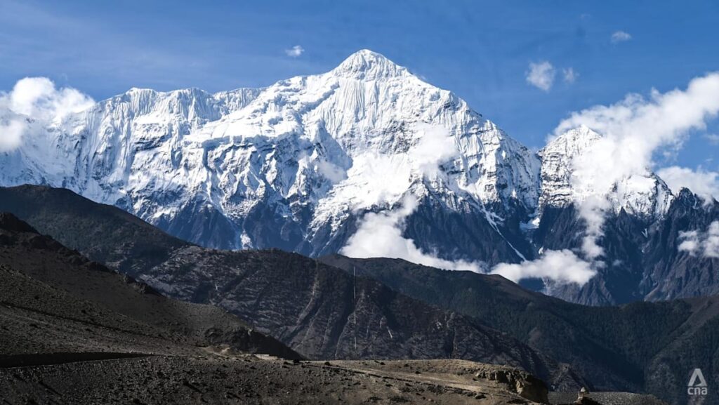
On the morning of Aug 26, scientists found that a mass of bedrock and overlying glacial ice broke off Langtang-Lirung mountain and plunged from a height of about 5,200 m more than 2 km down to the valley floor.
It resulted in a ground impact significant enough for the United States Geological Survey to report a 5.2 magnitude earthquake.
A rush of melting ice, rock and debris entered the high altitude Lhende Khola river in Tibet, from where a large lake briefly formed before breaking and surging downstream, carrying all in its path.
Research is continuing into the exact mechanics of this particular failure, but…
Read the full article at CHANNELNEWSASIA.COM