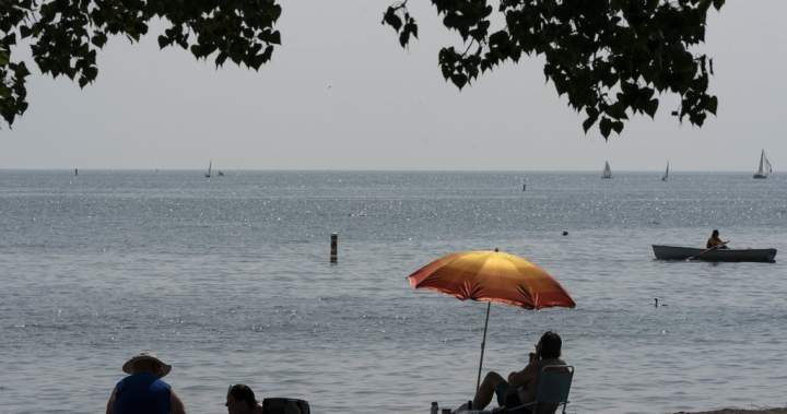
Parts of Canada are starting to exit the latest crushing heat wave of the summer.
And if this summer has felt particularly brutal for you, you’re not alone — data shows multiple cities across Canada have already surpassed their normal number of days above 30 C.
Halifax, Toronto and Montreal are among those that have seen more days above that threshold than they normally do, while roughly 51 daily heat records were broken across the country on Monday as temperatures in many regions soared into the mid-30s C, according to Environment Canada.
Global News chief meteorologist Anthony Farnell says multiple heat waves and long-lasting ones is becoming a new normal.
“We’ve always had heat waves, that’s nothing new; it’s the duration,” he said.
“The fact that it’s not just a two- to four-day stretch of hot weather, it is lasting longer than typical and that leads to more drought and it can sometimes lead to extremes like we’re seeing now across the East.”
In Halifax, for example, there have been seven days so far this summer where the temperature has surpassed 30 C.
It might not seem like much, but Farnell said it’s higher than the five seen last year, and above the normal number of days above 30 C, which is about three.
Ontario and Quebec have seen many more.
As of Tuesday, Toronto has seen 22 days since June 1 where the temperature was above 30 C.

Get daily National news
Get the day’s top news, political, economic, and current affairs headlines, delivered to your inbox once a day.
The normal number for the city is about 17, but last year it only saw 10 days.
In an average summer, Montreal would normally see about 11 days above 30 C and last year it saw 12, but this year, Farnell said the city has already had 20 days.
“We still have several weeks of warmth left, so it just really is a variable that alternates year to year, but it’s above normal this year in Toronto and for many cities across the country,” he said.
In Ontario, 10 heat records were broken or tied in places like Algonquin Park, Goderich, Parry Sound and Bancroft.
The Maritimes also saw records broken, with Mirimichi, N.B., breaking a temperature record that has stood for more than 150 years by hitting 37.6 C on Monday. La Scie, N.L., set a new monthly high of 31.5 C, breaking the 31 C record set on Aug. 7, 1990.
All that heat has also led to drought conditions in many locations.
Agriculture Canada reported that fully 71 per cent of the country was classified as abnormally dry or being in a moderate to extreme drought by the end of July.
St. John’s, N.L., typically sees a normal precipitation of 230 millimetres, but since June 1 has only had about 101 mm, while downtown Toronto has seen 80 mm instead of the normal 185 mm. Toronto’s rain is also a large decrease from the higher amount of rain seen last year, when it hit about 340 mm.
Farnell said these cities, as well as Halifax, are running under 50 per cent of their normal rainfall since the start of summer, which, coupled with drought conditions, leads to a high risk of fires.
The latest figures posted by the Canadian Interagency Forest Fire Centre suggest wildfires have torn through 72,000 square kilometres, making it the second-worst season on record.
Yet not every city has faced high heat and low rain. Farnell noted that Calgary has actually seen higher amounts of rainfall, with 314 mm having fallen since June 1, compared with its normal 193 mm.
The city also has seen a slightly higher number than the normal five days of 30-plus temperatures with eight so far, but it’s still below the 15 seen last year.
Environment Canada told The Canadian Press in an interview that British Columbia and the Prairies are expected to see some rainfall this week as the heat wave facing parts of the country lifts, while some rain will also fall on the Maritimes toward the end of the week.
Farnell says that while rain is welcome, it will need to be more than a short shower for there to be an impact.
“Sometimes you can get a thunderstorm in a quick 20 to 30 millimetres, but it happens in less than an hour and most of that just runs off and it doesn’t get absorbed into the ground,” Farnell said.
More heat could be coming as summer still has a few weeks left, but Farnell says the weather pattern facing Canada is “turning cooler,” meaning wetter weather could soon be on the way.
— with files from The Canadian Press
Read the full article here
