


Two powerful systems are developing in the Atlantic—a hurricane and a tropical storm- and while neither is forecast to make landfall in the U.S., both have prompted a slew of warnings and advisories for Florida.
What To Know
The National Weather Service has issued various categories of warnings for parts of Florida’s east coast as Tropical Storm 9 and Hurricane Humberto continue to form in the Atlantic Ocean.
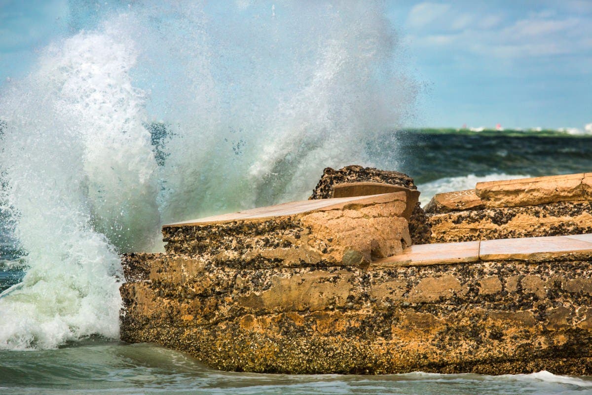
“Swells and high surf from both Humberto and Tropical Depression Nine are expected to produce dangerous marine conditions and rip currents along the east coast of Florida and the Georgia coast through Monday,” the National Hurricane Center said in an update issued this morning. “These conditions are expected to spread northward along much of the east coast of the United States early this week.”
“The risk of significant wind impacts along the southeastern United States coast is decreasing, but interests in that area should continue to monitor the latest forecast updates.”
Warnings In Place for Florida
The following warnings/advisories are currently active in Florida:
Tropical storm watch:
- Northern Brevard
- Northern Brevard Barrier Islands
- Southern Brevard
- Coastal St. Lucie
- Coastal Martin
- Coastal Volusia
- Coastal Indian River
Rip current statement:
- Coastal Palm Beach County; Coastal Broward County; Coastal Miami Dade County
- Coastal Nassau, Coastal Duval, Coastal Flagler, Northeast Coastal St. Johns, Southeast Coastal St. Johns.
The warning urges locals not to swim in ocean waters. “High surf will affect the beaches in the advisory area, producing localized beach erosion and dangerous swimming conditions,” the statement reads. “Swimmers should remain out of the water due to large breaking waves and dangerous surf conditions. Rip currents are powerful channels of water flowing quickly away from shore, which occur most often at low spots or breaks in the sandbar and in the vicinity of structures such as jetties and piers.”
High surf advisory:
- Coastal Volusia; Coastal Indian River; Coastal St. Lucie; Coastal Martin; Mainland Northern Brevard; Northern Brevard Barrier Islands; Mainland Southern Brevard; Southern Brevard Barrier Islands
Tropical cyclone statement:
- Inland Volusia; Northern Lake County; Orange; Seminole; Osceola; Okeechobee; Coastal Volusia; Southern Lake County; Coastal Indian River; Coastal St. Lucie; Coastal Martin; Inland Northern Brevard; Inland Indian River; Inland St. Lucie; Inland Martin; Mainland Northern Brevard; Northern Brevard Barrier Islands; Inland Southern Brevard; Mainland Southern Brevard; Southern Brevard Barrier Islands.
Hurricane Humberto and Tropical Storm 9 Paths
Forecast models from the National Hurricane Center indicate that Tropical Depression 9, positioned closer to land than Hurricane Humberto, will begin moving north past Florida around 8 p.m. ET on Sunday. By Monday, the system is expected to continue toward Georgia, North Carolina, and South Carolina.
Meanwhile, Category 5 Hurricane Humberto has developed north of the U.S. and British Virgin Islands, with winds reaching 160 mph on Saturday evening. Projections show the storm will likely shift north-northwest on Tuesday night, weakening as it passes near Bermuda before breaking down further into the Atlantic later in the week.
Read the full article here


