


Heavy snow, strong winds, and ice are forecast to hit northern and western areas of the U.S., as the National Weather Service (NWS) warns people in nine states including Alaska and Hawaii to “stay indoors until conditions improve.”
Other states likely to be most affected by heavy snow, winds, and ice are Wisconsin, Minnesota, Michigan, South Dakota, North Dakota, Wyoming and Montana.
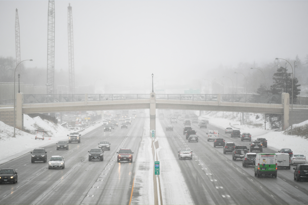
Wisconsin
Between 5 and 8 inches of snow and 50 mph winds are expected to strike Crawford, Grant, and Richland counties, and between 9 and 14 inches of snow, along with 45 mph winds, could hit Adams, Juneau, Vernon, La Crosse, and Monroe counties from Sunday afternoon into Monday afternoon.
Clark, Taylor, Buffalo, Jackson, and Trempealeau counties could see up to 11 inches of snow, ice, and 45 mph winds—which is likely to create blizzard conditions—through Sunday, into Monday morning.
Between 20 and 30 inches of snow and 50 mph winds could blast Oneida, Vilas, Florence, Forest, northern and southern Marinette, northern and southern Oconto, Door, Marathon, Langlade, Lincoln, Menominee, and Shawano counties through Sunday. The weather is expected to cause whiteout conditions and “difficult to impossible” travel conditions until Monday afternoon.
Manitowoc, Kewaunee, Calumet, Winnebago, Brown, and Outagamie counties are forecast to get up to 20 inches of snow, ice accumulations, and winds reaching 50 mph throughout Sunday and Monday, before eventually dying out on Monday afternoon.
Portage, Waushara, Wood, and Waupaca counties could get between 13 and 22 inches of snow and sleet and 50 mph winds, “resulting in blizzard conditions” until Monday afternoon, prompting the NWS to advise people to “consider delaying all travel.”
Up to 10 inches of snow and winds reaching 50 mph are expected across Fond du Lac, Columbia, Green Lake, Marquette, and Sauk counties, from Sunday afternoon, continuing through Monday.
Dane, Green, Lafayette, Rock, Jefferson, Iowa, Washington, Sheboygan, and Dodge counties could see up to 8 inches of snow and winds ranging from 45 mph to 50 mph—leading to blowing and drifting snow, and near blizzard conditions—lasting until Monday.
Minnesota
Parts of southeast Minnesota could get up to 9 inches of snow and winds reaching up to 55 mph through Sunday. The NWS has warned that power outages are possible, and that travel could be “nearly impossible.”
Throughout Sunday, Big Stone and Traverse counties are expected to see between 10 and 18 inches of snow and winds gusting around 50 mph, Crow Wing, south Aitkin, and South and Cass counties could get between 5 and 12 inches of snow and 40 mph winds, and Carlton and south St. Louis counties could get up to 10 inches of snow and 40 mph winds.
Michigan
Mackinac and the surrounding islands—including Bois Blanc and Beaver Island—and southeast Chippewa county, could see between 14 and 30 inches of snow, and winds gusting around 50 mph until Tuesday morning, and parts of northern lower Michigan could get up to 15 inches and 45 mph winds until Monday evening.
South Dakota
Up to 3 inches of snow and 55 mph winds are forecast to hit northern and southern Meade county plains, Sturgis—including the Piedmont Foothills—Ziebach, and Haakon until around noon on Sunday. The NWS has warned that visibility could be reduced to below half a mile, which will “make travel dangerous, especially in open country.”
Up to 6 inches of snow and 40 mph winds could strike the northern foothills and northern Black Hills until around midday on Sunday, and up to 18 inches of snow could fall across Day, Marshall, and Roberts counties, along with 50 mph winds, throughout Sunday.
Codington, Deuel, Grant, and Hamlin counties could see similar conditions on Sunday, with 55 mph winds and up to 18 inches of snow likely to produce whiteout conditions.
North Dakota
Parts of southwest North Dakota could get up to 9 inches of snow and 35 mph winds until early Sunday morning, and Morton, Grant, Sioux, and Emmons counties could experience similar conditions until Sunday afternoon.
Between 5 and 9 inches of snow and winds reaching 45 mph are forecast for Logan, LaMoure, McIntosh, and Dickey counties until Sunday evening.
Wyoming
The Wyoming Black Hills could get around 6 inches of snow and winds reaching 40 mph through Sunday morning, petering out by midday. Travel is likely to be difficult, especially in rural areas that are “prone to blowing snow,” the NWS warns.
Alaska
The city of Hyder could see between 14 and 20 inches of snow through Sunday, into Monday morning, and Skagway—including parts of the Klondike Highway—Haines, and Klukwan could get between 6 and 10 inches of snow—with winds reaching 3 mph—from Sunday evening into Monday afternoon.
Up to 14 inches of snow and 35 mph winds could hit Glacier Bay, eastern Chichagof Island, and the city and borough of Juneau from Sunday afternoon until Monday afternoon—travel is “discouraged” by the NWS.
The Prince of Wales Island is forecast to get up to 8 inches of snow and 60 mph winds through Sunday, lasting until Monday afternoon, with the heaviest snowfall expected on Sunday morning, and Admiralty Island could see up to 10 inches of snow from Sunday afternoon, lasting until Monday morning.
The borough of Petersburg is expected to see between 7 and 12 inches of snow and 45 mph winds, and Cape Fairweather to Lisianski Strait between 10 and 13 inches of snow and 40 mph winds, lasting until Monday afternoon.
Montana
The Absaroka and Beartooth Mountains, including Cooke City, could get another inch of snow and 30 mph winds until early Sunday morning, but the NWS is warning that “avalanche danger is expected to increase.”
The Pryor and northern Bighorn Mountains could see up to 2 inches of snow and 45 mph winds, also until Sunday morning.
Hawaii
The Big Island Summits could see up to 20 inches of snow and winds reaching up to 100 mph through Sunday until Monday morning. The NWS has warned that these conditions could result in periods of zero visibility, so “any travel plans to the summits should be postponed.”
Read the full article here


