


Hundreds of thousands of people were told to be on alert for “sudden” rises in river water levels on Thursday after significant warming heightened the risk of ice jams in the Omaha, Nebraska, area.
National Weather Service (NWS) meteorologists issued a flood watch and a hazardous weather outlook for the Omaha forecast region early Thursday morning. The flood watch is in place for the Platte, Elkhorn, and Loup Rivers because of “potential ice jam development,” the alert said. It will remain in place through Monday evening.
It’s a little early in the season for the ice jams to occur, NWS meteorologist Laurel McCoy told Newsweek. Over the past two weeks, frigid temperatures caused ice to build up on rivers in the area. Now, the area is undergoing rapid warming, with temperatures reaching into the 40s, 50s, and even 60s in some areas.
“The ice breaks up and catches on itself and creates a temporary dam,” McCoy said. “Water builds up behind it and floods.”
Meteorologists cannot predict exactly where an ice jam will occur, so the flood watch was issued for the entire area.
What Is an Ice Jam?
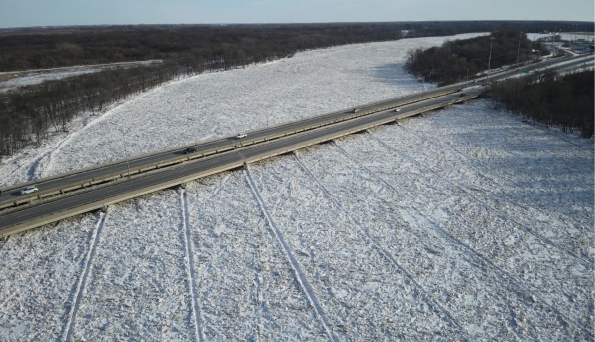
Ice jams are accumulations of river ice that block or restrict a channel’s flow, causing water levels to rise rapidly upstream and sometimes lead to sudden, destructive flooding. They typically form during freeze-up, when newly forming ice piles up behind obstructions such as bends, bridges, or shallow river sections, or during breakup in late winter and early spring, when warming temperatures and snowmelt send large sheets of ice downstream.
“This heightened threat is due to persistent warm weather. Those with interests along area rivers, especially in low-lying areas, should remain vigilant to the potential for rapidly rising water,” NWS Omaha said in the flood watch.
Who Is At Risk of Sudden Winter Floods?
The alert is in place for portions of east central, northeast, and southeast Nebraska, including Butler, Dodge, Douglas, Sarpy, Saunders, Washington, Antelope, Colfax, Cuming, Madison, Pierce, Platte, Stanton, and Cass Counties.
“The formation of an ice jam could result in sudden rises of water, leading to a rapid flooding situation. Ice jams can cause water level fluctuations of 1 to 3 feet over a very short time period and without much notice,” the flood watch said.
“While no ice movement has been observed or reported, several consecutive days of highs ranging from the upper 40s to mid 60s suggest breakup and movement is imminent.”
In the United States, ice jams are most common in colder regions—including the Midwest, Northeast, and parts of Alaska—and can be especially damaging because flooding often occurs with little warning, even in the absence of heavy rain. The resulting impacts may include inundated homes and businesses, washed-out roads, damaged bridges, compromised levees, and utility disruptions, as well as erosion of riverbanks and harm to infrastructure critical for transportation and emergency response.
How To Prepare for Ice Jam Floods
People who live near rivers prone to ice jams should closely monitor local forecasts and alerts from the NWS and emergency management officials, as water levels can rise quickly with little warning. It’s important to have an evacuation plan in place, including knowing multiple routes to higher ground and identifying a safe location to go if flooding begins. Moving valuables, important documents, and hazardous materials to higher floors or elevated areas ahead of time can limit losses.
How Long Will the Warm Weather Last?
Temperatures will likely remain above-average for the central U.S. through February 18, according to temperature outlooks from the NWS Climate Prediction Center.
Read the full article here


