


The National Weather Service (NWS) office in Greenville-Spartanburg, South Carolina, clapped back at a former GOP district secretary after she expressed doubt about a winter storm forecast.
The social media exchange comes as NWS offices along the Eastern Seaboard issues forecasts regarding an incoming winter storm set to bring heavy snow and gusty winds to the region this weekend.
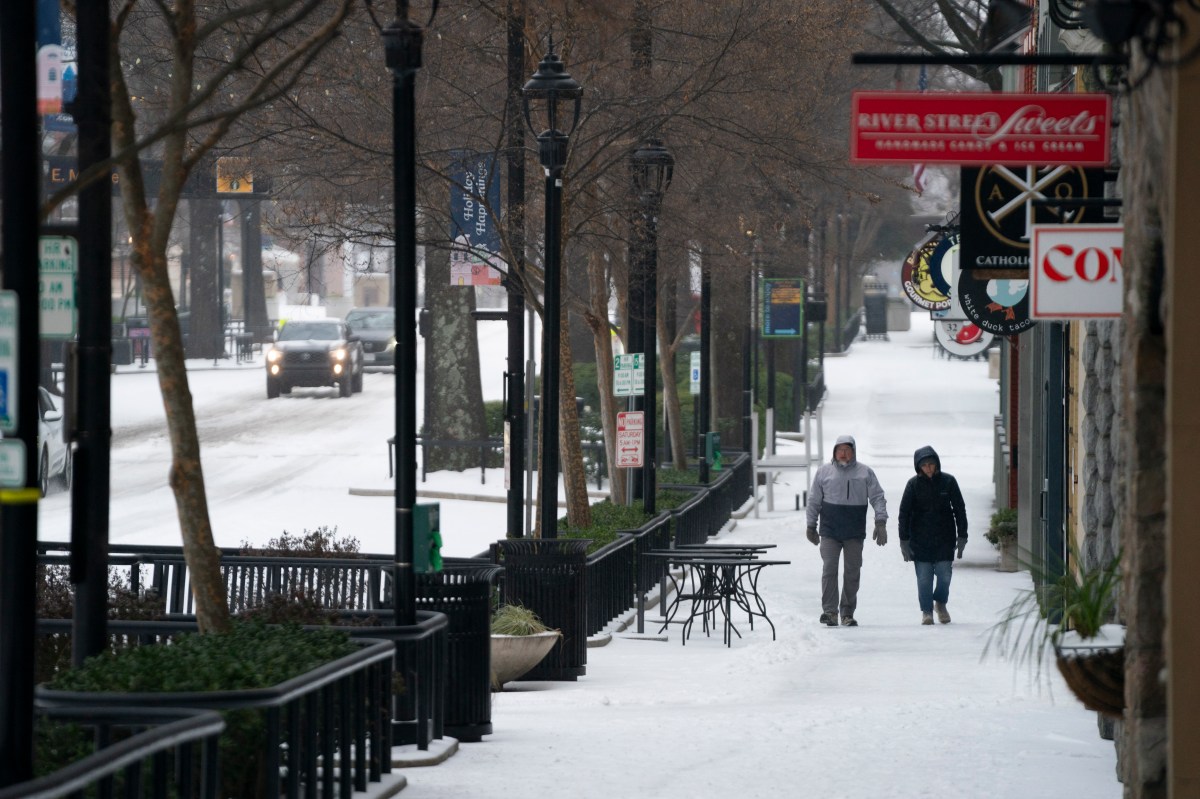
The incoming storm follows Winter Storm Fern, which ravaged the U.S. last weekend. At least 45 people were killed during that storm, and hundreds of thousands of people across the South remain without power as of Thursday morning.
The next storm will hit areas further east, primarily the Carolinas.
Newsweek reached out to the NWS by email for comment.
Despite the storm’s increasing chances of impact, some people have expressed doubt about the forecast, including Margaret Ackiss, a former North Carolina district GOP Secretary.
Ackiss responded to a post NWS Greenville-Spartanburg’s (NWS GSP) made on X on Wednesday.
“Confidence is increasing that snow will develop across the region beginning Friday evening, continuing into Saturday,” NWS GSP said in the post, including a map showing which states could expect at least minor impacts from the system. “Significant accumulations of snow are possible across much of the area, with impacts to travel being the primary concern.”
Shortly after NWS GSP made the post, Ackiss reposted it, adding, “That’s what you said last weekend.” She included a yawn emoji with the post.
Newsweek reached out to Ackiss through X for comment.
“What exactly did we say last weekend?” NWS GSP responded.
The post garnered responses of its own. Several people came to NWS GSP’s defense.
“That’s literally science: new data comes in, and you adjust your hypothesis accordingly. As they are doing,” one person wrote. Another person added that last weekend, the main threat from Winter Storm Fern was accumulating ice, not heavy snow.
Others echoed Ackiss’ doubt. “We’ll see,” one person wrote.
Did Winter Storm Fern Hit South Carolina?
NWS GSP’s forecast region did experience impacts from the storm. Photos and videos shared across X show a dusting of snow, “pouring” sleet, and ice accumulating on trees and roadways.
The worst of Winter Storm Fern’s impacts were felt along a concentrated path that cut across Texas, Louisiana, Mississippi, and Tennessee. When the storm arrived, some people criticized local meteorologists on social media, doubting their forecasts and expressing disappointment over having prepared for heavy snow and ice that didn’t accumulate to the catastrophic levels they were expecting.
However, in the days leading up to the storm, the NWS and other meteorologists stressed that the exact track and strength of the storm was uncertain.
When Will The New Winter Storm Arrive?
As of Thursday morning, winter storm watches had been issued across several states in the South, including nearly all of North Carolina and South Carolina.
The winter storm watches will likely be upgraded to warnings as it gets closer to the new storm’s arrival. Current forecasts anticipate that impacts could begin as soon as Friday afternoon. The winter storm watch in the NWS GSP forecast region will remain in effect through Sunday morning.
It warned of heavy snow and strong winds.
How Much Snow Will South Carolina Get?
Forecasted snowfall amounts vary depending on the location. In the NWS GSP forecast region, meteorologists are expecting between 2 and 7 inches of snow.
“The heavy snow will make many roads impassable and may produce isolated power outages due to the weight of the snow on tree limbs and power lines,” NWS GSP said in the winter storm watch. “The hazardous conditions could impact the Friday evening commute across the mountains. Gusty winds could bring down tree branches.”
Read the full article here


