


The National Weather Service (NWS) has issued a freeze warning for parts of Wyoming for the overnight hours on Monday and the early morning hours on Tuesday, as subfreezing temperatures are expected.
Why It Matters
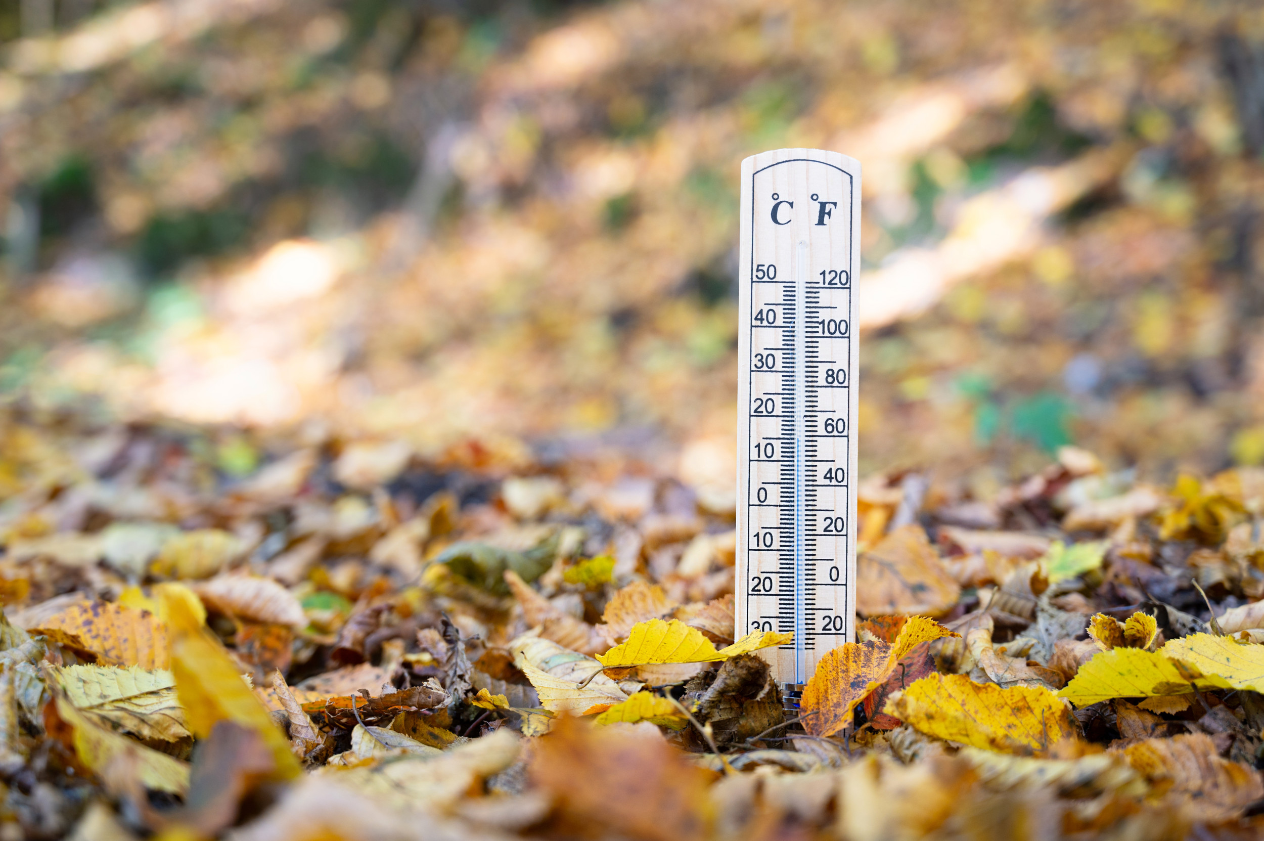
The end of summer has brought conflicting weather across the United States. Some parts of the nation are experiencing above-average temperatures this week, with highs in the 80s and 90s across the Central U.S., whereas parts of Wyoming are expecting temperatures to dip into the 20s.
A freeze warning is issued to alert people to extremely cold temperatures that can be hazardous to vegetation and damage outdoor plumbing.
What to Know
The NWS office in Riverton, Wyoming, issued several freeze warnings on Monday. The warnings will go into effect from 1 a.m. to 7 a.m. local time on Tuesday.
They are in place for Jackson Hole, Star Valley, the Upper Green River Basin Foothills, and the Upper Green River Basin, including the cities of Jackson, Afton, Star Valley Ranch, Alpine, Thayne, Farson, Big Piney, La Barge, and Pinedale, affecting thousands of residents.
The coldest temperatures are expected in Bondurant, at 23 degrees Fahrenheit.
“There is a 90 to 100 percent chance of widespread temperatures of 32 or less occurring,” NWS Riverton said in one of the freeze warnings. “Cloud cover could keep low temperatures warmer than is currently expected.”
This is not the first time NWS Riverton has issued a freeze warning for its forecast area this season. NWS meteorologist Taylor Wittmann, who works at the Riverton forecast office, told Newsweek the office also issued a freeze warning for the night of August 8.
Typically, the region begins to see freezing weather around this time of year, he said.
The cold weather comes as NWS Riverton shared photos of snowfall on X on Monday.
“It is mid-September in WY, which means cooler temperatures and, yes, snow. Here is a current look at Hwy 20/26 Togwotee Pass as of 0811AM 9/15,” NWS Riverton wrote with the post. “Rain showers and thunderstorms will be possible across the region through the afternoon, with snow possible above 10,000 ft.”
It is mid-September in WY, which means cooler temperatures and, yes, snow. Here is a current look at Hwy 20/26 Togwotee Pass as of 0811AM 9/15. Rain showers and thunderstorms will be possible across the region through the afternoon, with snow possible above 10,000 ft. #wywx #snow pic.twitter.com/RDmjQ9H4JY
— NWS Riverton (@NWSRiverton) September 15, 2025
What People Are Saying
NWS Riverton in a freeze warning: “Frost and freeze conditions could kill crops, other sensitive vegetation, and possibly damage unprotected outdoor plumbing. Take steps now to protect tender plants from the cold.”
“Cooler temps filter in tonight through tomorrow. This will mainly be felt starting Monday night, when freezing low temps are likely across the western valleys and basins. Cooler temps will then occur everywhere for Tuesday. Temperatures trend warmer for the end of the week.”
What Happens Next
People in the impacted areas should protect vegetation and outdoor plumbing. The freeze warnings will expire early Tuesday morning. Looking further ahead, the NWS Climate Prediction Center anticipates above-average temperatures will return to Wyoming and much of the rest of the U.S. between September 20 and September 24, according to the center’s temperature outlooks.
Read the full article here


