


A late-season winter storm is poised to bring heavy snow and powerful winds to large portions of central and southwestern Montana, prompting the National Weather Service (NWS) in Great Falls to issue a winter storm watch for multiple counties and mountain ranges starting late Wednesday and continuing through Thursday afternoon.
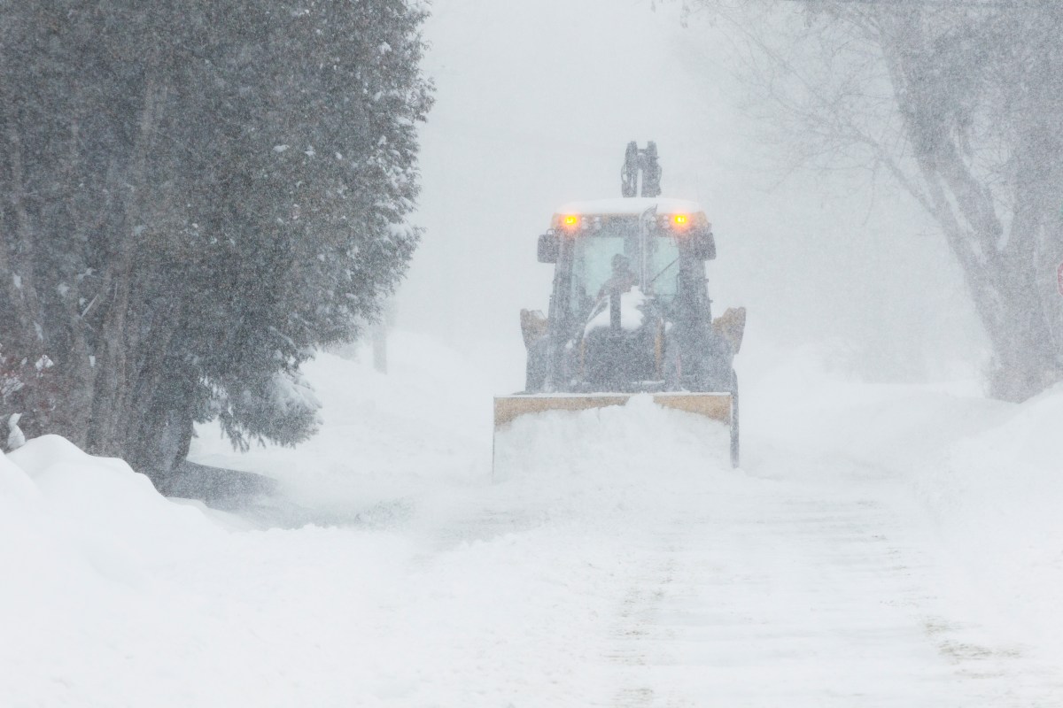
Forecasters say snow totals could approach 10 inches in parts of southern Montana’s mountain regions, with blowing snow and gusty winds creating dangerous travel conditions and possible infrastructure impacts, such as power outages.
The watch covers Judith Basin County, Fergus County below 4,500 feet, Judith Gap and the Snowy and Judith Mountains, where snowfall totals could range from 4 to 8 inches, with isolated higher totals possible. Up to 10 inches are expected in Little Belt, Highwood, Big Belt, Bridger, Castle, Gallatin, Madison and Centennial Mountains. Winds may gust up to 60 mph in some locations, increasing the risk of whiteout conditions and drifting snow.
Communities potentially affected include Lewistown, Stanford, Hobson, Raynesford, Benchland, Hilger, Moccasin, Geyser, Neihart, Big Sky, West Yellowstone and several high-elevation passes such as Bozeman Pass, Kings Hill Pass, Targhee Pass, Raynolds Pass and Battle Ridge Pass.
Travel is expected to be hazardous, particularly across mountain passes. The NWS warned that visibilities could drop below a quarter mile during periods of heavy, wind-driven snow, and tire chains may be required for some vehicles. Strong winds could also result in downed trees or power lines, raising the possibility of localized power outages.
The storm is forecast to begin Wednesday evening in the mountains, expanding and intensifying late Wednesday night into Thursday, before tapering off Thursday afternoon.
Residents and travelers are urged to monitor forecasts closely and prepare for rapidly changing conditions, especially given the storm’s timing during a period when many may not expect winter weather.
Winter Storm Warning vs. Winter Storm Watch
A winter storm watch means there is a chance of significant winter weather such as heavy snow, strong winds or dangerous travel occurring during the specified time frame. It is issued to give people notice to prepare and adjust plans.
A winter storm warning is issued when impactful winter weather is imminent or already occurring, and confidence is high that dangerous conditions will develop. Warnings signal a greater urgency to complete preparations and avoid unnecessary travel.
The current designation as a watch indicates that forecast confidence is increasing, and the alert could be upgraded to a warning if conditions become more certain over the next 24 to 36 hours.
Read the full article here


