



“BELOW THE DETECTION LIMIT”
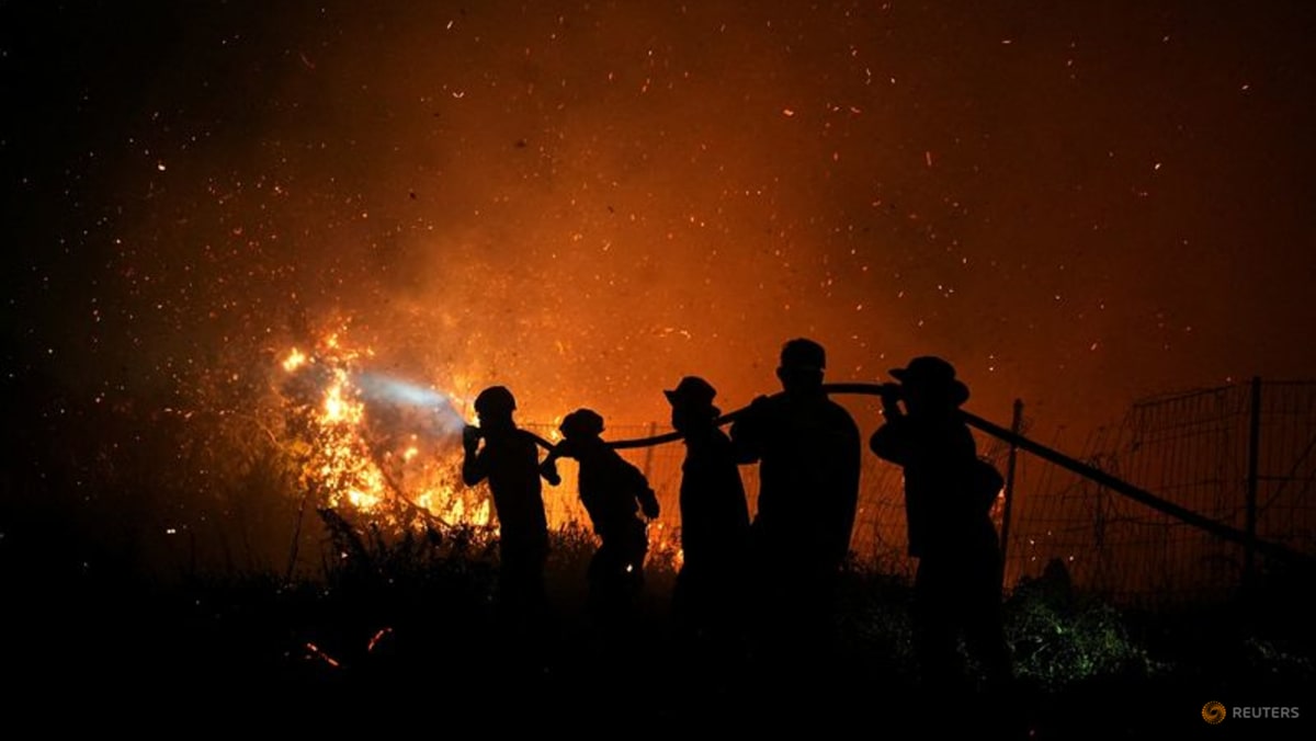
From January to July this year, fires burned around 202,000ha of Indonesian land, about a third of the amount over the same period in 2015, said Nisa Novita of the environmental group YKAN, which helps communities tackle fires.
“However, August data are estimated to show a significant increase of around 600,000ha, particularly in Kalimantan, Sumatra and South Papua,” she said.
Indonesia lost a total of 2.6 million ha to fire in the whole of 2015, an area bigger than Wales.
The number of recorded hotspots from Aug 1 to Sep 8 reached 13,443, compared to 9,454 over the same period of 2015, according to Indonesian forest ministry monitoring platform Sipongi, based on data from NASA’s Terra and Aqua satellites.
A record monthly high for hotspots was recorded in October 2015, Sipongi data showed.
Fire Emissions Watch uses satellite observations to estimate concentrations of particulate matter, volatile organic compounds, greenhouse gases and other fire-fuelled pollutants, but Parrington said it could actually be underestimating the extent of the problem.
“One of the aspects with peat fires is if they’re burning at low temperatures or underground, they’d be below the detection limit of the sensors, which means we’re not actually seeing them,” he said.
Studies have shown that fires in Indonesia in 2015 produced more emissions per day than the whole of the EU, and caused more than 100,000 excess deaths throughout Indonesia, Malaysia and Singapore.
“We have to remember that this is still the beginning of the season, and we expect the fires to continue and the emissions to keep increasing, potentially through to the end of October, which is what we saw in 2015,” said Parrington.
“In two months we’ll know how extreme this year has been, but the early indications are that it is at pace, if not slightly above those previous El Nino years.”
Read the full article here


