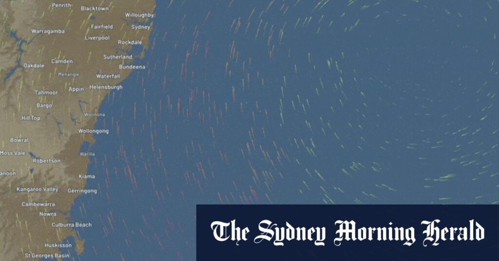
According to Nine News, damage has already occurred, with a roof blown off a house in Bundeena.
There was also a warning for strong gale-force winds along the NSW coast and further north, with minor flood warnings along some rivers in the state’s north-east.
“With that low-pressure system forming just off the coast of Wollongong, winds are really starting to ramp up along the south coast of NSW,” How said.
“We’ve seen gusts of about 90 kilometres an hour for both the Illawarra coast last night and also in southern parts of Sydney and this morning – we did see a wind gust of 98 kilometres an hour at Botany and more than 70 kilometres an hour along Sydney Harbour”.
Overnight, the state’s north-east, northwestern slopes and mid-north coast received more than 50 millimetres of rain, while the Illawarra coast had more than 100 millimetres fall and Sydney saw five to 15 millimetres in the last 24 hours.
Frequent rain was expected alongside the strong winds on Sunday across the South Coast and Sydney, with the north and north-east seeing showers easing, How said.
There was also a warning in place for coastal hazards including dangerous surf.
“So this low-pressure system is generating very large waves as well along the southern and central New South Wales coast,” How said.
“What this means is that it will create dangerous conditions for those along the beach in the foreshore, including coastal erosion and very large waves offshore up to five meters, making things very dangerous out on the water”.
Read the full article here

