


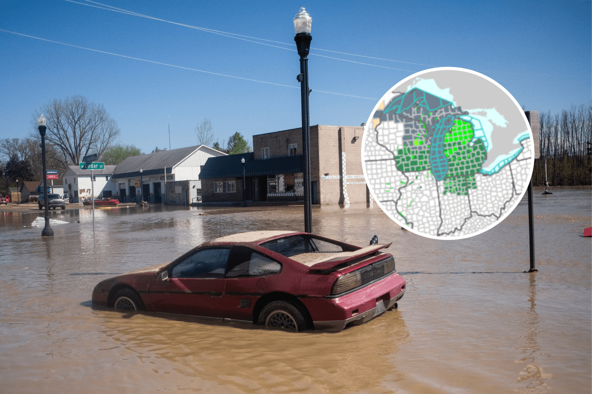
Thousands of residents across the Midwest and parts of the Great Lakes region have been placed under urgent flood alerts, including an immediate evacuation order in Wisconsin, as rising rivers, dam concerns and prolonged runoff trigger dangerous conditions.
Emergency managers and multiple National Weather Service (NWS) offices warn that flooding could worsen or persist for days in low‑lying and flood‑prone areas, urging residents to move to higher ground where necessary and avoid travel through water‑covered roads.
Wisconsin: Immediate Evacuation Ordered Along Wolf River
An “evacuation immediate” alert was issued at 2:01 p.m. Central time on Wednesday for parts of Waupaca County, Wisconsin, following dangerously high water levels along the Wolf River.
The alert was transmitted by the National Weather Service in Green Bay at the request of Waupaca County Emergency Management.
Officials ordered the evacuation of the city of New London and areas up to 8 miles southwest along the Wolf River, warning residents that conditions are unsafe and rapidly evolving.
“If you are living in the impacted area, and choose to remain in place, your safety cannot be guaranteed. You should evacuate immediately to ensure your safety,” the alert said.
A public emergency shelter has been established at Washington Center Gym, 500 West Washington Street, New London, and residents are advised to bring medications, phone chargers and pets.
Elsewhere in Wisconsin, river flooding is expanding and expected to persist into the weekend and beyond.
According to the NWS offices in Milwaukee/Sullivan and La Crosse, multiple flood warnings remain in effect across the state, including major flooding on the Wisconsin River at Portage, where water levels are forecast to crest near historic levels before slowly receding early next week.
Michigan: Rising Rivers, Dam Concerns and Prolonged Flooding
Several flood alerts are in effect across Michigan, driven by a combination of elevated river levels, snowmelt and concerns surrounding dam infrastructure.
The NWS in Gaylord, Michigan, issued a flash flood watch for Antrim County, covering areas downstream of the Bellaire Dam on the Intermediate River.
The watch remains in effect through Friday morning, with forecasters warning that increased flows could trigger flash flooding in low‑lying areas below the dam.
In west‑central Michigan, the NWS in Grand Rapids issued a flash flood watch for Oceana County, citing the potential failure of the Hesperia Dam on the White River.
That watch remains in effect through Thursday morning, alongside a separate flood watch lasting into late Thursday night due to continued rainfall and runoff.
Officials reported water rising rapidly, already overtopping spillways and affecting nearby infrastructure.
Farther north, the NWS in Marquette has issued and extended multiple flood warnings and flood advisories across parts of Michigan’s Upper Peninsula, including along the Michigamme, Sturgeon, Paint and Escanaba river systems.
Some warnings remain in effect through Sunday or later, with forecasters cautioning that additional rises are likely in the coming days.
In parts of northern Michigan, officials have described the situation as prolonged, with flooding expected to continue well after rainfall ends.
Indiana and Missouri: Rising Water in Urban and Rural Areas
In northern Indiana, the NWS issued a flood advisory covering Marshall, Pulaski and Starke counties, effective until 5:30 a.m. Eastern time on Thursday.
Radar indicated additional rainfall moving into already saturated areas, with minor flooding expected in low‑lying and poor drainage locations.
Officials cautioned that many flood‑related deaths occur in vehicles and urged drivers to avoid roads covered by water.
In Missouri, a series of flood warnings and flood advisories was issued late Wednesday evening by the NWS offices in Springfield and St. Louis, affecting parts of central, east‑central and southwest Missouri.
The alerts cite 1 to 2 inches of rainfall, with additional rain expected to worsen flooding in rivers, creeks and low‑water crossings through the early hours of Thursday.
Oklahoma: Rivers Rising After Heavy Rainfall
In northeast Oklahoma, the NWS in Tulsa issued flood advisories for Craig and Washington counties, effective into the early hours of Thursday following heavy rainfall from thunderstorms. Between 1 and 2 inches of rain was reported in some locations.
River flooding concerns also remain along the Illinois River near Tahlequah, where water levels are forecast to continue rising into Friday.
In southern Oklahoma, the NWS in Norman extended a flood advisory for East Cache Creek near Walters, warning that water levels could continue rising overnight as runoff works through the system.
Safety Officials Urge Caution as Flooding Persists
Across all affected regions, emergency officials have consistently stressed the dangers of driving through flooded roadways or approaching swollen rivers and streams.
“Turn around, don’t drown” warnings were echoed by multiple NWS offices, with officials emphasizing that flooding can linger for days and conditions can change quickly—even after rainfall stops.
Read the full article here


