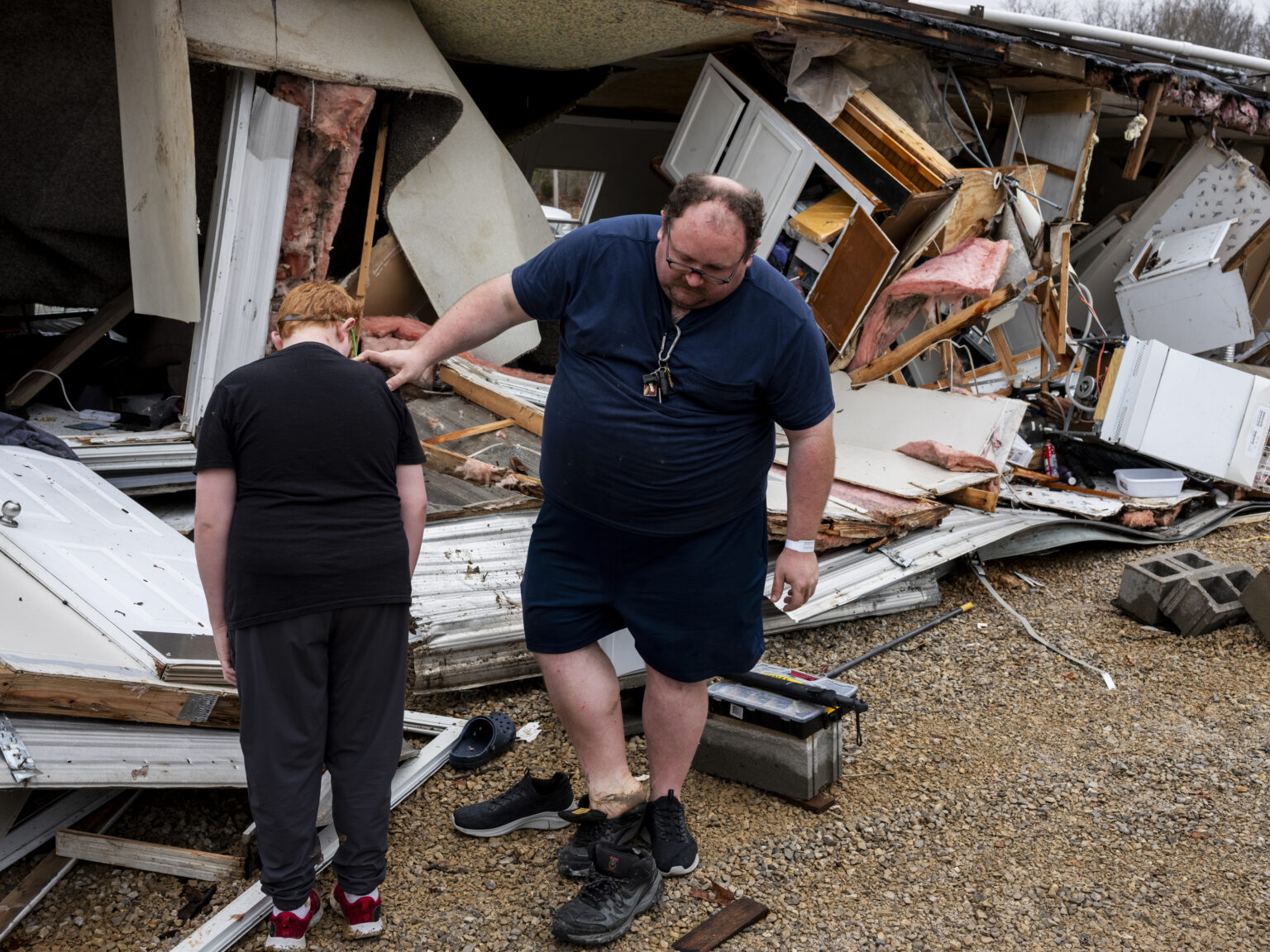
A tornado threat tracking east across the United States near the South and Midwest has sparked an additional concern of “particularly dangerous” flooding.
Why It Matters
Tornadoes have ravaged communities in the South and Midwest already this year, leading to multiple deaths. National Guard troops were deployed in Arkansas, a particularly hard-hit state, to help communities remove debris from damaged properties.
The severe weather has also displaced swathes of people, causing numerous power outages and widespread flooding.
What To Know
The National Weather Service (NWS) reported tornado watches and warnings across numerous states Wednesday afternoon. Illinois, Missouri, and Arkansas are among the states under a tornado watch, while Oklahoma, Arkansas and Missouri are under a flood watch.
During the expansive storm, a level 5 tornado threat is expected for portions of Arkansas, Kentucky and Tennessee, including Memphis.
“What we’re working with here are the greatest risk factors. You can see a level 5 out of 5 has been issued across portions of Arkansas, into western Tennessee, as well as southwest Kentucky,” meteorologist Derek Van Dam said Tuesday on CNN. “That’s really the highlighted most…increased risk of severe storms, as the ingredients in the atmosphere, come together with the spin allowing for the potential at least of supercells that could drop tornadoes from the sky.”
Van Dam continued, “So to complicate the matters here on top of this tornado threat, we have the potential of extreme flash flooding. So, we’re monitoring this area here where the flood watch is across portions of Arkansas. This area has a particularly dangerous situation attached to that flood watch because of this multi-day severe life-threatening flood threat that is ongoing across the region.”
What People Are Saying
Little Rock Mayor Frank Scott Jr. on X, formerly Twitter, Wednesday: “Because of the threat of severe weather today, the weekly test of the City of Little Rock’s emergency warning sirens will not be conducted today at noon. Any sirens today will be an indicator of a tornado warning within the Little Rock City limits.#LRWx”
The National Weather Service Weather Prediction Service, Wednesday: “A powerful Spring storm system will bring a barrage of life-threatening weather hazards including flash flooding and strong tornadoes to portions of the Lower Ohio Valley and Mid-South through the evening and into the overnight hours. The flash flood threat, which is just now beginning to materialize, is only the beginning of a multi-day catastrophic and potentially historic heavy rainfall event.”
What Happens Next
Brian Hurley, senior meteorologist at the Weather Prediction Center, told Newsweek that “the flooding aspect of this storm will begin tonight.”
“The lower to mid-Mississippi Valley will have a risk of flash flooding. Into Thursday night, it’ll travel into the Ohio River Valley,” Hurley said.
Read the full article here

