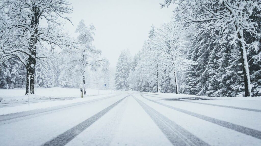
A storm is predicted to dump up to 6 inches of snow in high-elevation areas of Nevada and California, posing hazardous travel conditions for drivers.
For the Spring Mountains, which are included in the advisory area, there have been only four other instances dating to 2006 in which winter weather advisories were issued in October.
“This is a little earlier than normal,” National Weather Service (NWS) meteorologist Ashley Nickerson told Newsweek.
Why It Matters
The NWS has issued winter weather advisories for several high-elevation areas in California and Nevada, warning that up to 6 inches of snow could accumulate through Wednesday morning. These early-season conditions threaten to make travel hazardous, especially in the mountainous corridors popular with commuters and tourists. As the first major snow prediction of the season, advisories underscore the need for early winter preparedness and immediate caution among those traveling through affected regions.
What To Know
The NWS Las Vegas office issued urgent winter weather messages on Tuesday, covering the White Mountains of Inyo County in California and the Sheep Range, Spring Mountains and Red Rock Canyon in Nevada. Snowfall totals are forecast to reach between 3 and 6 inches above 7,000 feet in the White and Inyo Mountains, with up to 3 inches possible between 6,000 and 7,000 feet. Winds in these areas could also gust as high as 40 mph, potentially reducing visibility and increasing the risk of blowing snow.
The advisory for these counties remains in effect until 5 a.m. PDT Wednesday.
In Southern Nevada, the Sheep Range and Spring Mountains—including popular recreation areas like Mount Charleston, Red Rock Canyon and Hayford Peak—are expected to receive 2 to 4 inches of snow at elevations above 8,000 feet, with more than 4 inches possible above 9,000 feet. Accumulating snow is expected in the upper reaches of Lee Canyon through the afternoon, with snow levels dropping into the evening. The advisory remains effective for these areas until 11 p.m. PDT Tuesday.
The NWS highlights the risks for motorists, particularly through Westgard Pass in California and the Lee and upper Kyle Canyons in Nevada, where slippery road conditions are anticipated. As snow levels descend, lower elevations could see a light dusting, potentially catching drivers unprepared.
The NWS urges travelers to slow down and exercise caution. Motorists are encouraged to check current road conditions by calling 1-800-427-7623 for California or 511 for Nevada before embarking on mountain routes. The agency emphasized that traveling in these conditions could be very difficult and that reduced visibility, snow-packed roads or strong gusty winds could combine to increase the hazard.
What People Are Saying
NWS Las Vegas, in a post on X: “Expect unsettled conditions today across the region, with pockets of rain showers, high mountain snow, and gusty winds across the region. Improving conditions and a gradual warming trend will follow for the remainder of the week.”
NWS Las Vegas, in another post on X: “Winds, rain, and snow are on the way! Gusts to 40-50mph are expected, with snow accumulations for locations above 7000ft in CA/NV. If you’ll be traveling, check the latest forecast and road conditions, and stock up your winter travel safety kit in your vehicle!”
What Happens Next
The winter weather advisories across mountain areas of California and Nevada will remain in effect through late Tuesday night and early Wednesday morning. Travelers in the region are advised to remain alert for rapidly changing conditions, as the combination of snow and high winds can produce sudden reductions in visibility and rapidly deteriorating roadways.
Read the full article here

