


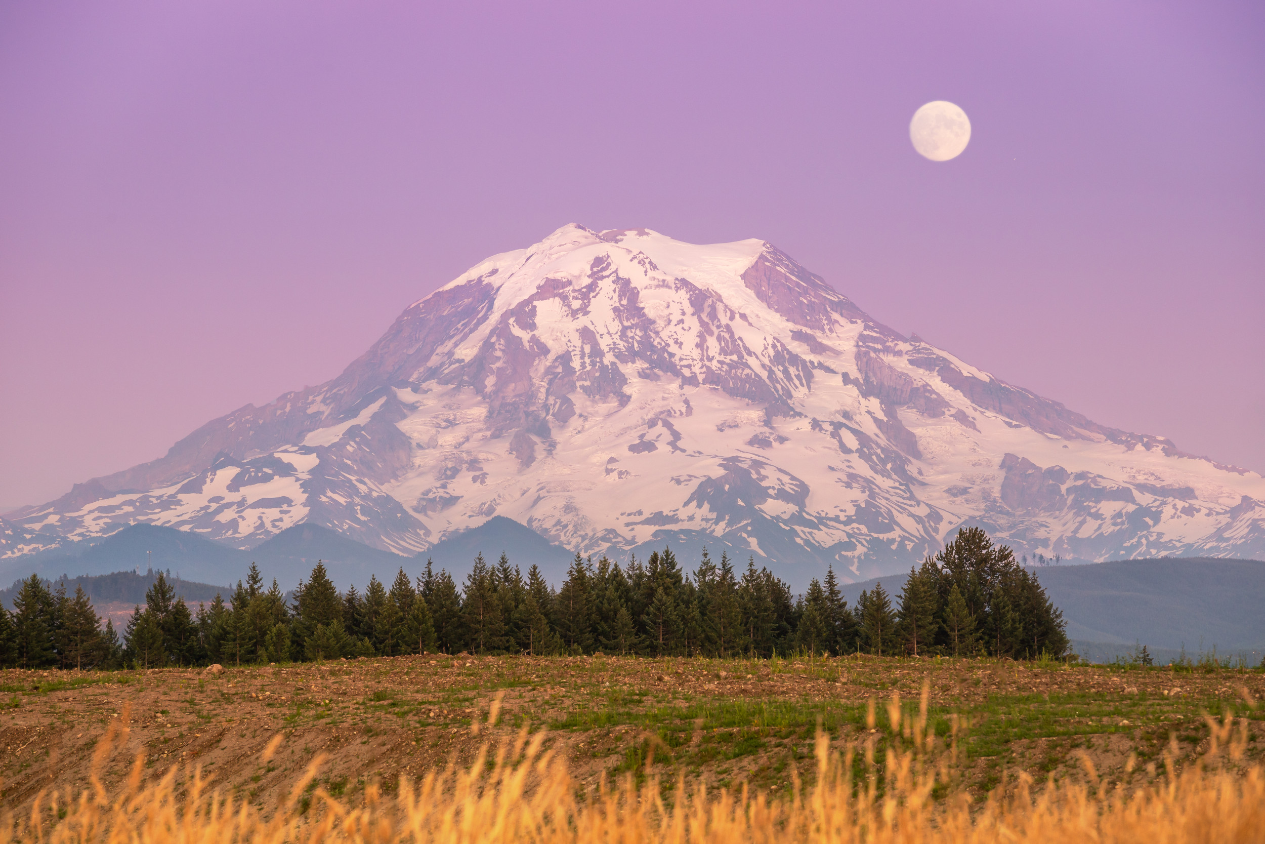
In a discovery that has literally changed the landscape of the Pacific Northwest, Mount Rainier—Washington state’s towering icon—has been found to be shorter than previously known.
A local scientist and mountaineer has confirmed that the volcano’s famous summit point has shifted and shrunk, marking a significant change in the mountain’s geography.
The discovery was made following a recent expedition to the summit by Eric Gilbertson, a teaching professor in mechanical engineering at Seattle University.
“Mt Rainier is the tallest peak in Washington, the most topographically prominent peak in the contiguous US, and the most heavily glaciated peak in the contiguous US,” Gilbertson wrote in a blog post.
“The peak is very significant in Washington—it is easily visible from Seattle on a clear day, and its picture is even on the state license plate and the state quarter. Some people refer to it simply as ‘The Mountain.'”
Using survey-grade GPS units borrowed from his university’s civil engineering department, Gilbertson found that the mountain’s official summit, known as Columbia Crest, is no longer the highest point on Mount Rainier.
On August 28, precise measurements revealed that Columbia Crest stands at 14,389.2 feet, while the southwest crater rim reaches 14,399.6 feet. This means Mount Rainier is approximately 10 feet shorter than its historically recorded height of 14,410 feet, which was first measured by triangulation in 1914 and officially established in 1956.
In total, the Columbia Crest has shrunk by 21.8 feet since 1998.
The reason for the shrinkage is relatively simple: ice is melting. “The summit area of Mt Rainier has a crater rim that melts out to rock every summer, but there has historically been a permanent dome of ice on the west edge of the rim,” Gilbertson said.
That ice dome is the Columbia Crest. Official measurements of a permanent ice cap such as this are usually made in late summer, when the ice cap is at its lowest point. Gilbertson added: “Measuring at this time of year ensures seasonal snow does not count towards the summit elevation.”
Gilbertson’s discovery came as part of his ongoing personal project to measure the exact heights of Cascade peaks, which he began in 2022. Reports from mountain guides who noticed that Columbia Crest, traditionally the summit where climbers pose for photos and plant their ice axes in triumph, no longer felt like the highest point sparked this particular expedition.
Despite their remarkable accuracy—the measurements have an error of just 0.1 feet—these new heights aren’t official just yet. The United States Geological Survey (USGS) still lists Mt Rainier as being 14,410 feet on its website.
Newsweek reached out to the USGS for comment via email outside of business hours.
Gilbertson didn’t point to a specific cause behind the shrinking, but climate change could play a key role. The mountain has undergone dramatic changes over the past century, with 42 percent of its glacier ice vanishing since 1896. At least one glacier has completely disappeared.
Based on his calculations, Gilbertson estimates that the southwest crater rim surpassed Columbia Crest as the highest point around 2014, a high-water mark in the mountain’s ongoing transformation.
Do you have a tip on a science story that Newsweek should be covering? Do you have a question about mountains? Let us know via science@newsweek.com.
Read the full article here


