


National Weather Service (NWS) meteorologists are warning of a sudden plunge in temperatures for the Eastern U.S. beginning on Thanksgiving, after a cold front tore through the region earlier in the week.
Why It Matters
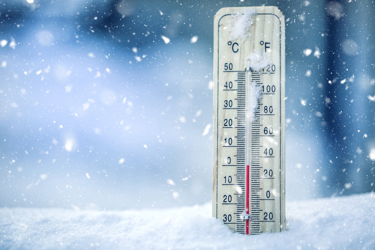
The sudden change in temperatures will feel like a shock for millions of Americans on the East Coast, who have so far been enjoying mild temperatures for the season. Following the cold front, temperatures are going to drop as much as 15 degrees below average beginning on Thanksgiving, making temperatures akin to January levels and prompting freeze warnings in southern Georgia and northern Florida.
What to Know
The NWS warned of the sudden temperature change in a Thursday morning forecast.
“An abrupt change to reality is underway across the Eastern U.S. in the wake of a strong cold front currently exiting the East Coast,” the forecast said. “The pleasantly mild weather that was experienced from the Southeast U.S. to New England Wednesday will be replaced by a much colder air mass from Canada in time for Thanksgiving Day and going into the upcoming weekend.”
The forecast went on to say that “it will feel more like January” for many states, with high temperatures running 5 to 15 degrees below normal for late November.
“This colder weather pattern will also include heavy snow downwind of the Great Lakes through Friday evening, with some areas getting over a foot of accumulation in the more persistent lake effect bands,” the forecast said. “This will severely affect travel from now into early Saturday, and some roads could become impassable at times.”
On Thursday morning, the NWS office in Jacksonville, Florida, issued a freeze warning as temperatures were set to dip as low as 29 degrees Fahrenheit in some locations. The cold weather will take hold in the early hours on Friday morning.
The dip in temperatures come as climate experts have warned of a Sudden Stratospheric Warming (SSW) event that could cause a blast of arctic air to descend into parts of the U.S. later this month or into the first week of December. However, Amy Butler, with the National Oceanic and Atmospheric Administration (NOAA) Chemical Sciences Laboratory told Newsweek that the immediate dip in temperatures is unlikely to be caused by the SSW.
“Right now the SSW and a build-up of high atmospheric pressure over the Arctic are expected to occur simultaneously this week,” Butler told Newsweek. “This may contribute to some of the forecasted cold, but the primary driver is probably the Alaskan ridge that is forming, which drives the jet stream south and brings cold air with it.”
What People Are Saying
NWS Jacksonville in a freeze warning: “Appropriate action should be taken to ensure tender vegetation and outdoor pets have adequate protection from the cold temperatures. Young children, the elderly and the homeless are especially vulnerable to the cold. Take measures to protect them.”
NWS Wilmington, North Carolina, in a post on X: “NWS Forecast low temperatures for Saturday morning are currently lower than the previous early season lows from a couple of weeks ago. The coldest readings are expected inland.”
NWS Morehead, North Carolina, in a post on X: “Another reinforcing cold front will pass through tonight, bringing even colder temps.”
What Happens Next
Looking further ahead, the six- to 10-day temperature outlook from the NWS Climate Prediction Center shows the greatest chance at below-average temperatures will be in the Great Lakes region, with slightly lower chances descending as south as Texas. NWS meteorologists urge people to bundle up and monitor local forecasts to be best prepared for cold temperatures.
Read the full article here


