


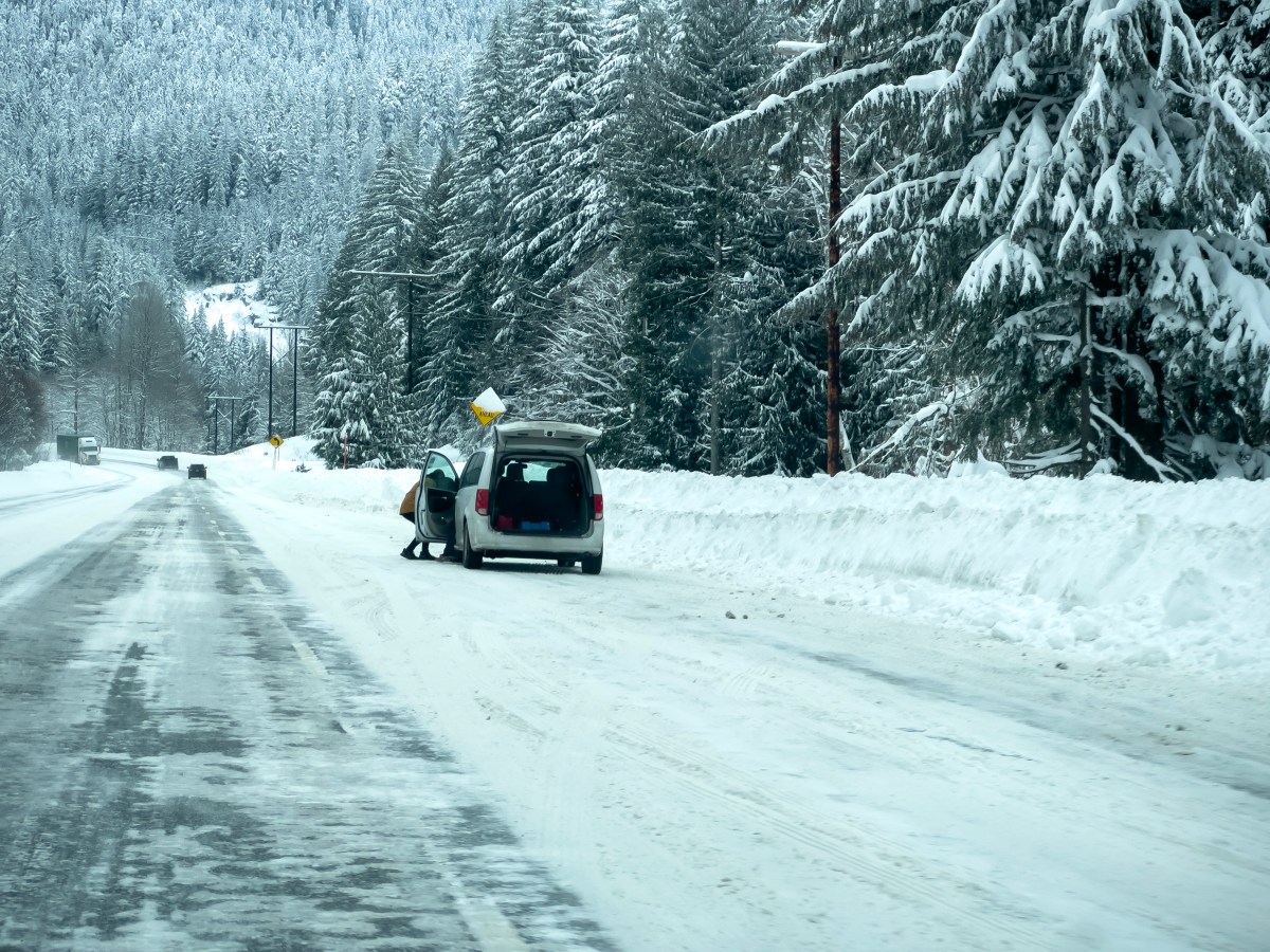
A powerful round of mountain snowfall is set to sweep across the Washington Cascades beginning late Tuesday, with forecasters warning that up to a foot of accumulation could create hazardous travel from Whatcom County to the Okanogan Highlands.
Winter Weather Advisories have been issued for multiple regions, with snow expected to intensify on Wednesday as a convergence zone develops over the mountains. National Weather Service (NWS) offices in Spokane and Seattle issued the advisories, warning that between 8 and 12 inches of snow is expected, mainly above 4,000 feet in elevation. Locations below that threshold may still see several inches, but the heaviest impacts are likely at passes and remote mountain communities.
The area of greatest concern will be near Stevens Pass, NWS meteorologist Kayla Mazurkiewicz told Newsweek. Locally heavier amounts of snow are possible there. The incoming snowstorm could affect skiers in the region or people recreating in the backcountry.
The advisory covers the following counties: Whatcom, Skagit, Snohomish, King, Chelan, and Okanogan, including Loup Loup Pass, Twisp, Methow, Winthrop, Mazama, Holden Village, Conconully, Stevens Pass, Stehekin, Mount Baker, and Stevens Pass.
Snow will begin around 11 p.m. Tuesday and continue through 5 a.m. Thursday, forecasters said.
People residing within the impacted areas were urged to prepare for winter weather conditions, with the main impacts likely to be to travel.
“Travel could be very difficult to impossible,” NWS Seattle said in the winter weather advisory. “Slow down and use caution while traveling. Prepare for possible power outages.”
Flood watches have been issued further south, as flooding remains possible at lower elevations.
“Excessive runoff may result in flooding of rivers, creeks, streams, and other low-lying and flood-prone locations. Low-water crossings may be flooded,” NWS Seattle said in the flood watch.
Strong winds will also pose a threat to the area.
“In addition to rain, southwest winds will increase through the day and remain gusty overnight,” NWS Spokane said in a post on X. “There is a small risk (5-20%) for brief gusts to 45 mph. Main areas of concern will be over the Columbia Basin, West Plains, Palouse, and over the mountains.”
Aside from a similar winter weather advisory issued by the NWS Fairbanks, Alaska, office, there are no other winter weather advisories in place across the U.S. Springtime weather has taken hold for millions, with heat advisories issued in Southern California.
Meanwhile, parts of the Eastern Seaboard could see a dip in temperatures, with the NWS office in Morehead City, North Carolina, issuing a frost advisory amid temperature forecasts of 35 degrees, which could result in frost formation.
“Frost could harm sensitive outdoor vegetation. Sensitive outdoor plants may be killed if left uncovered,” the alert said.
Read the full article here


