



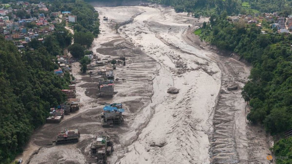
WASHINGTON: Lethal surges of mud and water that hit “like liquid concrete” are nearly impossible to predict and can not be outrun.
The cause of the deadly landslides and floods along the Nepal-Tibet border is not yet certain, but experts say the risk of such events is compounded by the extreme topography of the Himalayas.
At least 160 were killed and hundreds are missing in the wake of the disaster Wednesday morning.
Video from the Chinese side shows a raging wall of mud and debris crashing over a building several stories high, engulfing it and sweeping away buses and cars like they are toys.
It is too soon to draw any firm links to climate change, but there are well-documented trends in the “Roof of the World” that have increased the likelihood of such hazards.
LANDSLIDE, THEN TREMORS, SAYS USGS
Nepal’s Foreign Minister Shishir Khanal said an earthquake likely triggered a landslide that in turn blocked a river, sending water gushing downstream after it eventually breached the obstruction.
But in a new note, the United States Geological Survey said that while the event was initially reported as a magnitude 4.4 earthquake, “additional analysis of long period seismic waves indicates that the seismic energy was instead generated by a landslide”.
A preliminary assessment by the Kathmandu-based International Centre for Integrated Mountain Development (ICIMOD) found “no anomalies” from the Chinese side of the border.
“We believe a rock-ice avalanche occurred in Nepal, blocking the Lhende river and causing the cascading flood event,” Sarthak Shrestha, a remote sensing and geo information analyst with the intergovernmental institute, told AFP.
Hatim Sharif, a hydrologist at the University of Texas San Antonio, told AFP one thing that struck him was the lack of rainfall beforehand.
“That defeats essentially every operational flood warning system in the world,” he said.
Read the full article here


