


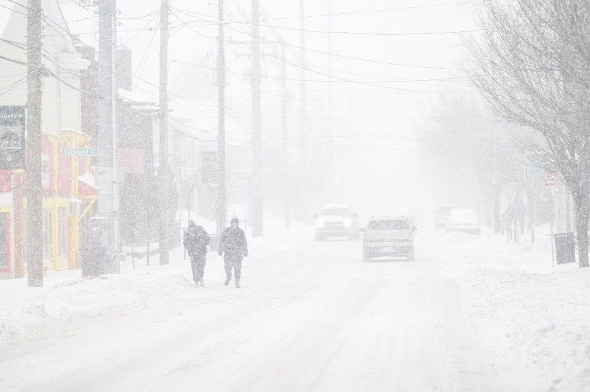
Winter storm warnings or winter weather warnings have been issued to six states, as the National Weather Service (NWS) forecasts that up to 20 inches of snow may fall over certain parts of the country from Monday or Tuesday this week, urging motorists to “delay all travel” where possible.
States Affected by Winter Storms or Winter Weather
Montana, Alaska and Hawaii are all under winter storm warnings, while Wyoming, Michigan and California have received advisories of severe winter weather over the coming days.
Montana
The Absaroka, Beartooth and Crazy Mountains could see between 10 and 20 inches of snow by Monday afternoon, with winds gusting up to 50 mph, likely to cause blowing snow and reduced visibility.
Up to 6 inches of snow could fall across the northern Stillwater and northern Sweet Grass areas, the Golden Valley, Judith Gap, Musselshell, southern Wheatland, and the Melville Foothills until early Monday afternoon. Residents have been told to “plan on winter driving conditions.”
Northwest Beaverhead County and the Gallatin, Madison and Centennial Mountains could see between 3 and 6 inches of snow, possibly reaching up to 10 inches along the ridge tops, by Monday morning.
According to the NWS, “a Winter Weather Advisory means that there is at least an 80 percent chance of minor impacts due to winter weather conditions during the advisory period.”
Alaska
Between 11 and 17 inches of snow is expected to fall on the Bristol Bay Coast and the western Capes in Alaska from early Tuesday morning to early Wednesday morning. Winds as high as 45 mph are also forecast, causing “areas of blowing snow,” reducing visibility and making travel “very difficult,” according to the NWS.
The interior Kuskokwim Delta could see between 5 and 10 inches of snow by Wednesday morning, with winds reaching about 40 mph at times, which—alongside blowing snow—could also blow around unsecured objects, the NWS warned.
The Pribilof Islands could get up to 6 inches of snow and 70 mph winds through Monday and Tuesday, which could reduce visibility down to less than half a mile at times.
Hawaii
The Big Island summits in Hawaii are under a winter storm watch until Monday afternoon, as up to 16 inches of snow is forecast. The NWS warned: “Strong winds are also possible. This will make travel very hazardous or impossible. Any travel plans to the summits should be postponed until the threat diminishes.”
Wyoming
The Teton and Gros Ventre Mountains in Wyoming could see up to 12 inches of snow—up to 18 inches of snow is expected over higher ground—by Monday afternoon. Winds reaching up to 50 mph are also forecast, with blowing snow likely to make “travel very difficult.”
Up to 11 inches of snow is forecast to strike the south and east parts of the Yellowstone National Park’s lower loop, with up to 7 inches expected across the upper loop and northern parts of the lower loop by Monday afternoon. Winds gusting up to 35 mph are also possible across the area.
Michigan
Central southeast and western Chippewa and eastern and western Mackinac counties could see between 2 and 5 inches of snow from Monday afternoon until Tuesday morning—with the heaviest snowfall expected overnight on Monday.
California
The eastern Sierra slopes are expecting strong, gusty winds and up to 8 inches of snow in areas above 8,000 feet through Monday, Tuesday and Wednesday—with higher amounts possible in places above 9,500 feet.
Parts of central California could see between 12 and 18 inches of snow above 7,000 feet and winds reaching 50 mph from Monday night through Tuesday and into Wednesday, with the most significant snowfall expected on Tuesday night.
Read the full article here


